It was with the idea of walking to the Picos de Europa for some time ... and this year the opportunity arose ...
- Review of the XT days ...
- Tires in good condition ...
- Budget € 200 for the entire travel and expense ... 4 days and 2500 kms

was all he needed to come and go to the Picos de Europa
This time the ride was made in complete autonomy and took me to eat for four days of the ride

with this strategy, it was possible the whole round trip, with a total expenditure of € 160
€ 140 each of which were gasoline (preferably mostly Spanish, which was less expensive)

the molds of the trip were the usual ...
travel without GPS or other sophisticated things ...
I took three maps that were offered and 2004 were
and went very well and even made the return home without a map

Enough talk, let's see the photos ...
The ride was long, and so would have a little (but very little) Off Road ...
and started in Couço, an area I know well ...
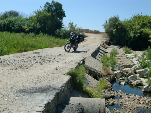
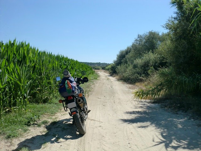
Another little detour to stretch my legs ... Dam Montargil
and so would get used to taking advantage of the body for the rest of the ride ...
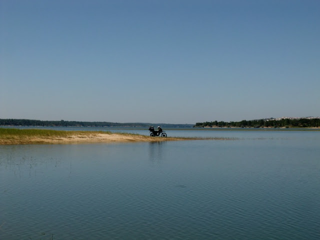
The second stop was at small Almieira by the river Tejo
I was used to replenish water in a fountain (I was traveling with 3.5 L)

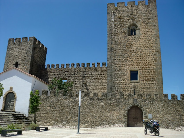
I kept walking into the unknown
in order to cross the River Tejo to the northern bank
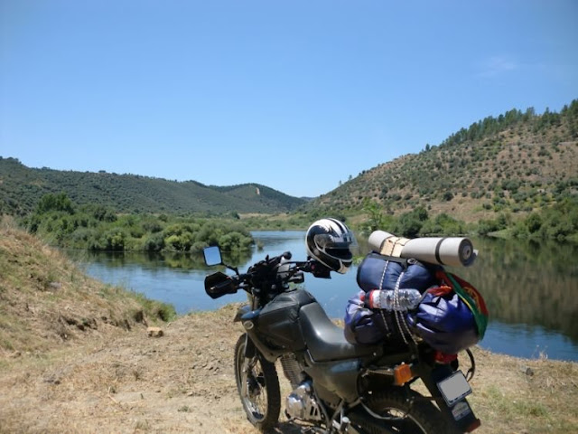
And I had the first surprise of the day
the road ended, and the only way to cross the river was one of these boats ...
I was pissed and had to walk back ... and I ended up having lunch in this place, under a spectacular left with a French couple traveling in a camper van ...
were clean and lent me the shelter of their RV to use my alcohol stove ...
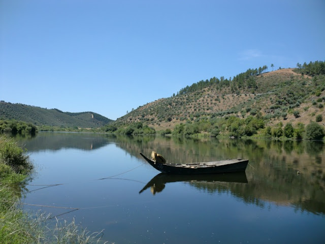
Complete picture of the team ... a family photo

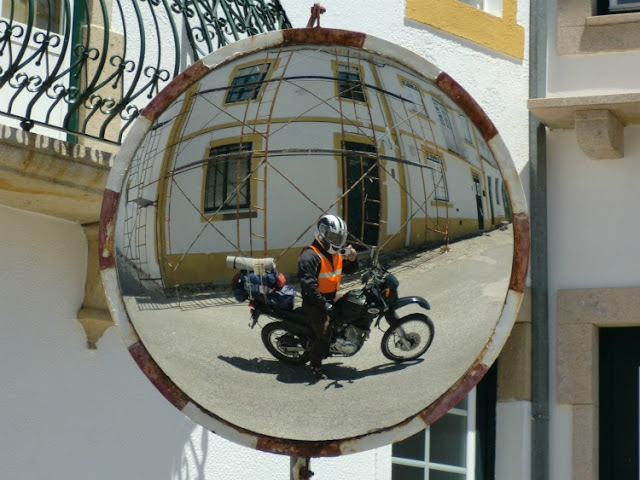
Since I was in the area of the Tejo, took the opportunity to know the route of the Açudes ...
and it was the opportunity to do a bit of off-road in a very beautiful ...
which later proved to be a bit technical and difficult to roll ...


Tejo River in the background ...

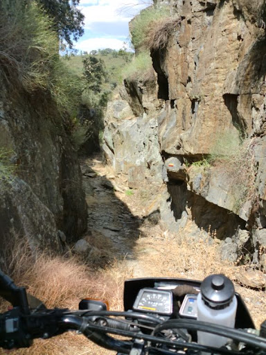
Always with the Tejo River to serve as a reference


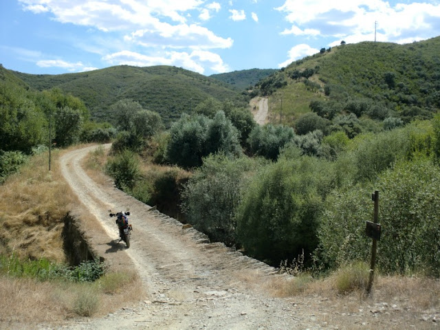
Arrival to such Açudes, which do not quite understand what it was, which its function
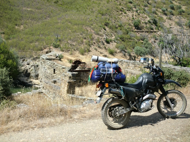
It was time to head north and out of dams in the park ...
Here there were no maps on this path and left me in an attempt to cross a road with ... and it worked

Was on its way Cebolais de Cima
and found this little bridge and went to see her up close and get to stretch your legs ...
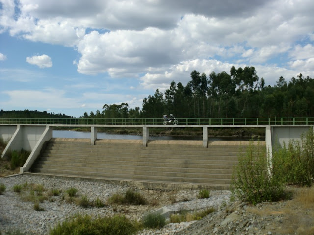
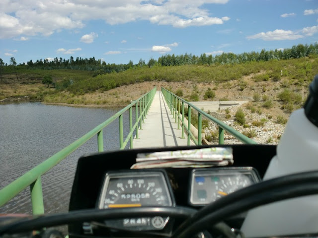
I headed north and found the way to a village called Moita ...
far from my village which is also called Moita ...


Was using the National No. 233 and as it was at dinner and looking for place to camp,
I made a detour near the
Seixo do Côa, , bound for Vale LongoLong (very small villages that do not appear on some maps) ... and found Ponte de Sequeiros
that has a place to be able to use my stove safely and without risks ...
This was my kit, which would feed me for 4 days ... and resulted in better than expected
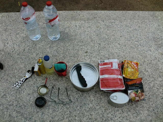
I even made a short video of my kitchen at work
[youtube]W2SS3j7-dQ8[/youtube]
I used an attachment from my kitchen to sleep, and I must have slept like a little angel all night ...
was a very quiet and there was only me and my XT

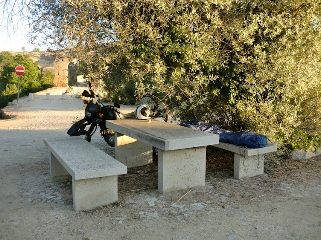
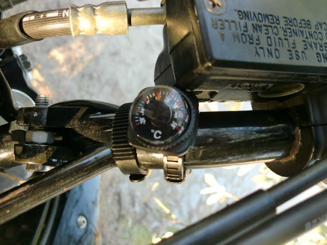
I woke up to 10 º C and was cold to shit ...
As I took my winter sleeping bag I realized I had not been a cold night ...
Burrow to head north, but take the opportunity to photograph the Bridge of Sequeiros...
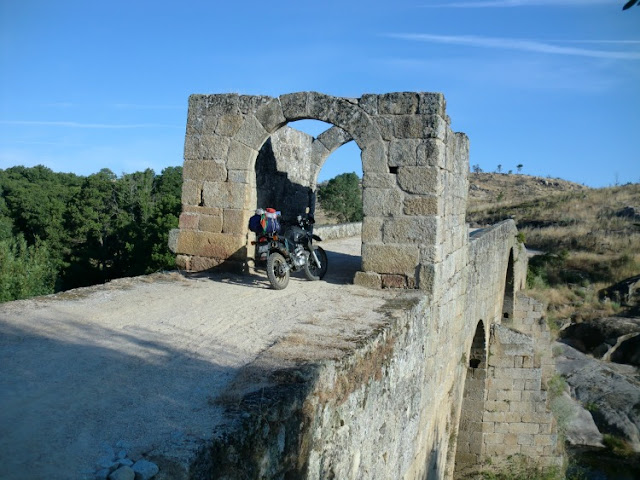

what a beautiful bike ...

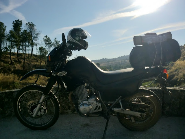
Arrival in Almeida ... and walked through the village and the huge Fort XT
This is the main entrance that is open to traffic ...

But a beautiful bridge and this time on the River Côa
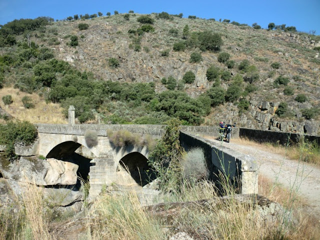
Arrival at the River Douro...
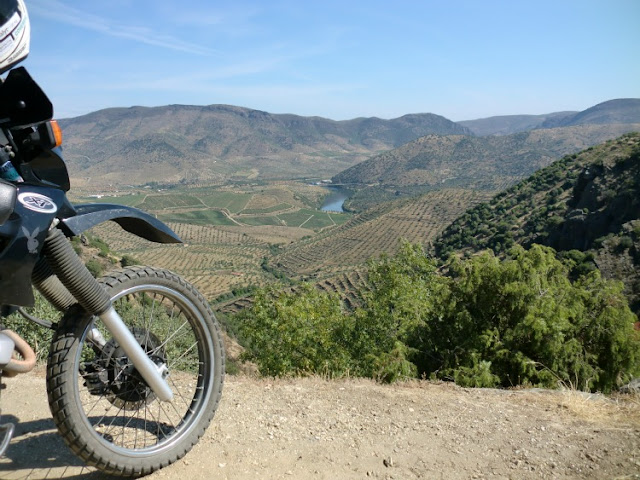
Ponte da Barca...

The place for lunch was for the national sides of No. 218-2 near Vale dos Frades a road city council ...
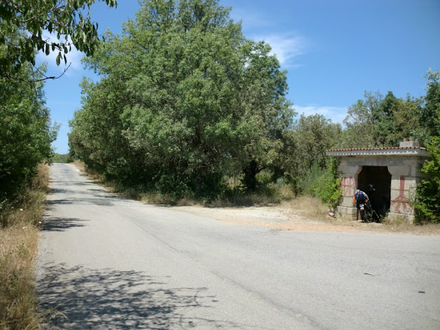
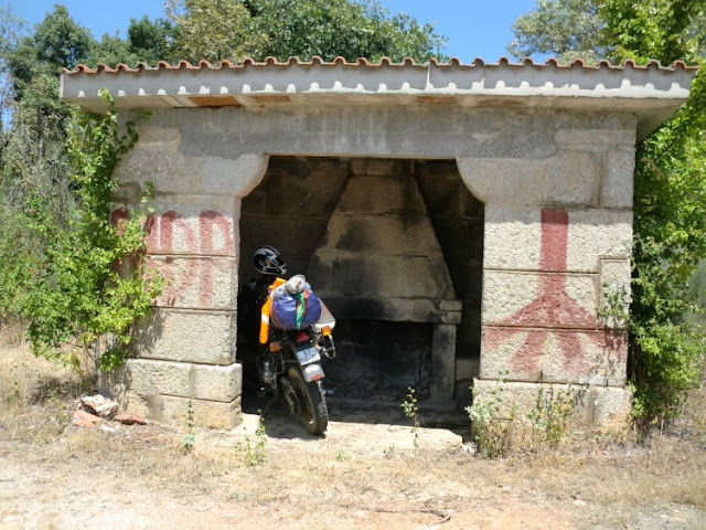
Perfect place to enjoy the meal ... XT and even was invited to join ...
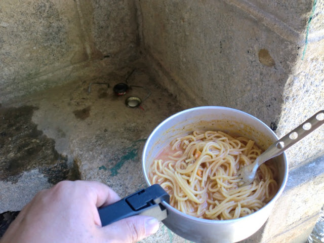
More branded as a spaghetti ... and this time was Bolognese
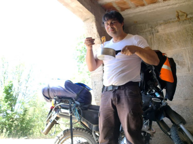
At the end of every meal could not leave the washing up ...

Land was in Spanish ... and a second location was stopped by a policeman stop operating ...
was all very simple ... I started the dialogue to say we have found that well ... wanted to go to the Picos de Europe and had no idea of the way ...
in the middle of a pleasant conversation, leave there a journey ...
The guard told me I should buy a better map and more,
and you never thought possible to see a map of Spain on a sheet of A5

Then they all end up laughing, but I walked away with good tips to reach the city of Leon
and did not show it all the documents, only the maps
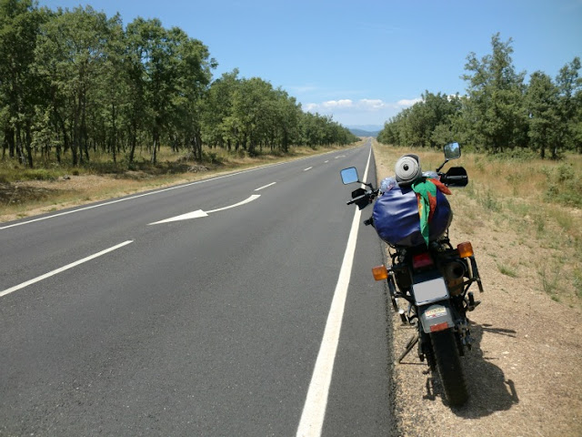
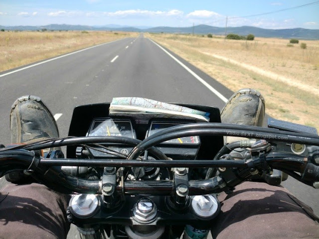
The lines were huge and boring ...
and then it is these and other things
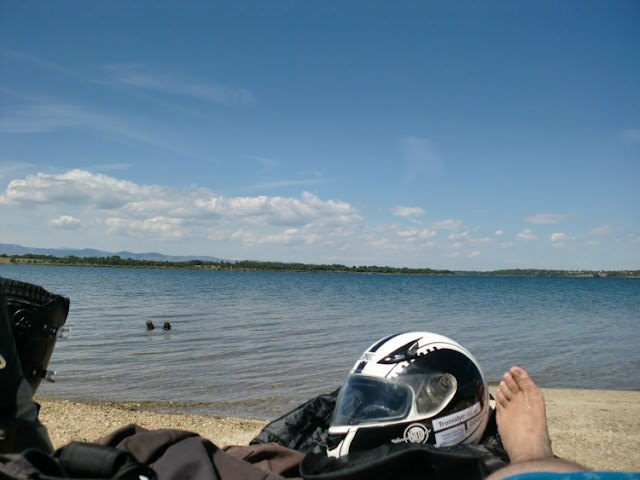
I got a beach
was within two minutes after water
I went off and south of Leon, and in order to scroll to the village of Mansilla de las Mulas
was the reference is to the next step ...
but the next step, things went less well ...
was supposed to take the National 625 ...
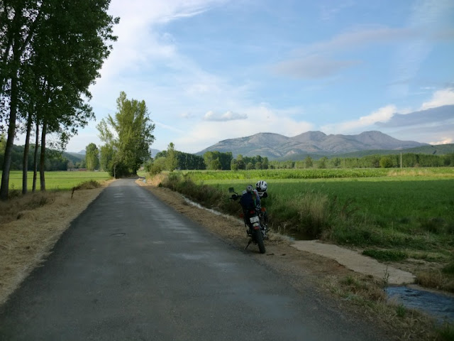
and I was wrong and went down a road with a 4 meters wide for about 50kms
The road was very beautiful but very tiring and I crossed with tractor ... and sometimes the thing was dangerous ...
I opted for whenever he saw a tractor jumped off the road and stopped the XT
such road
but the scenery was beautiful


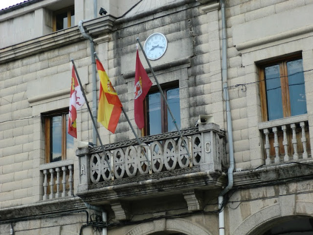
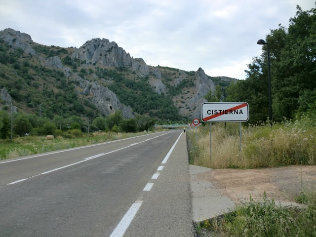
I came to the City of Cistierna
that the door of the Picos de Europa

(Continued)







 and soon put the 2nd part